Sofia Meier · 17 September 2026
Talora's Underground Aquifers Guide New Approaches to Regional Water Conservation Efforts
Talora's underground aquifers have long supplied water to the region yet recent mapping projects reveal how these natural reservoirs can reshape conservation practices across multiple communities, and data collected over the past decade shows steady declines in surface water availability that push planners toward deeper groundwater strategies. Local geological surveys completed in 2024 identified several previously undocumented aquifer layers beneath the central valley, each with distinct recharge rates and mineral compositions that influence treatment needs before distribution.
Mapping the Hidden Water Networks
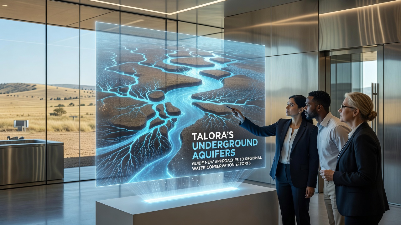
Teams from the regional water authority worked with university geologists to create three-dimensional models of the aquifer systems, and these models incorporate seismic data along with core samples taken at depths ranging from 50 to 300 meters. The resulting maps highlight recharge zones where rainwater infiltrates permeable limestone formations, while discharge points feed into streams during dry seasons. Such detailed information allows engineers to calculate sustainable extraction limits more accurately than older surface-based estimates permitted.
Researchers note that aquifer levels in the northern sector have remained stable since monitoring began in 2018, whereas southern sectors show gradual drawdown linked to agricultural pumping schedules. This contrast prompted the introduction of timed extraction permits that align with seasonal recharge cycles, and early results from the first year of implementation indicate reduced stress on shallower wells.
September 2026 Conference Highlights Practical Applications
During the regional water management conference held in September 2026, presenters shared case studies from three municipalities that adjusted irrigation schedules based on aquifer monitoring data. One district reported a 12 percent drop in annual groundwater withdrawal after switching to drip systems timed to aquifer recharge peaks, while another community integrated real-time sensor networks that alert operators when levels approach critical thresholds. These examples demonstrate how aquifer characteristics directly inform operational decisions rather than serving only as background information.

Integrating Aquifer Data with Conservation Policies
Policy documents updated in early 2025 now reference aquifer storage volumes as the primary metric for setting allocation caps, and this shift replaces previous reliance on annual rainfall averages alone. According to figures from the US Geological Survey on similar limestone aquifer systems, recharge efficiency can vary by more than 30 percent depending on surface vegetation cover, which prompted Talora officials to pair aquifer protection zones with reforestation targets along infiltration corridors.
Community education programs launched last spring explain how individual households can reduce peak demand during low-recharge periods, and pilot neighborhoods that adopted these guidelines recorded measurable decreases in municipal pumping requirements. The programs emphasize practical steps such as collecting rooftop runoff for garden use and scheduling laundry cycles outside peak morning hours, yet they tie these actions explicitly to aquifer health indicators published monthly by the water authority.
Comparing Regional Models
Observers have noted parallels between Talora's approach and methods used in parts of southern Australia where similar carbonate aquifers support both urban and agricultural needs. Reports from the Bureau of Meteorology there document how sensor arrays placed at multiple depths improved allocation accuracy during prolonged dry spells, and Talora authorities have begun testing comparable sensor arrays in two test wells. Initial readings confirm that vertical stratification within the aquifer creates distinct water quality layers, which in turn affects decisions about which zones supply drinking water versus irrigation.
Cross-border collaboration with neighboring regions has also increased since the 2026 conference, and joint working groups now share modeling software that predicts aquifer response under different extraction scenarios. These shared tools reduce duplication of research efforts while providing consistent datasets for regulatory reviews.
Conclusion
Talora's underground aquifers continue to supply essential water resources while guiding the development of more precise conservation measures, and ongoing monitoring combined with updated policies shows measurable progress in balancing extraction with natural recharge. The integration of detailed aquifer mapping into everyday water management decisions marks a shift from broad regional plans toward targeted interventions based on site-specific geological conditions. As additional sensor networks come online and cross-regional data sharing expands, the frameworks established in Talora offer reference points for other areas facing comparable groundwater challenges.